'Extremely active' hurricane season now likely, federal forecasters say
 Doyle Rice
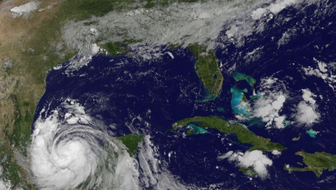
Batten down the hatches.
The 2017 Atlantic hurricane season should be "extremely active, and could be the most active since 2010," federal forecasters from the National Oceanic and Atmospheric Administration announced Wednesday.
Six named storms have already formed, including Hurricane Franklin, which is expected to hit the east coast of Mexico late Wednesday. Two of the tropical storms, Cindy in June and Emily in July, struck the United States.
“We’re now entering the peak of the season when the bulk of the storms usually form,” said Gerry Bell, lead seasonal hurricane forecaster at NOAA’s Climate Prediction Center.
NOAA said 14-19 named storms are now likely to form this year, with 5-9 becoming hurricanes. The numbers include the six storms that already occurred. The 2010 season had 19 named storms.
More:Meet the hurricane hunters, whose harrowing flights are all in a day's work
More:Franklin expected to hit Mexico as a hurricane tonight
A tropical storm contains wind speeds of 39 mph or higher and becomes a hurricane when winds reach 74 mph.
The latest forecast, an update to the original one released in May, makes no prediction about where or exactly when the storms and hurricanes will hit. The wind and air patterns in the Atlantic and Caribbean where many storms develop make an above-average season more likely, Bell said.
Last year, NOAA predicted 10 to 16 named storms, of which 4 to 8 would be hurricanes. 15 storms formed, of which 7 were hurricanes.
Meteorologists at Colorado State University last week also updated their forecast, predicting 16 tropical storms will form, with eight becoming hurricanes.
The late Colorado State University meteorologist William Gray was the first scientist to make seasonal hurricane forecasts back in the 1980s.
